Features
Features
Advanced AI and satellite analytics for gold and mineral exploration in Tanzania
Powerful tools for smarter mineral exploration
Orex combines Sentinel-2 satellite data, geospatial indices, and AI-driven analysis to identify high-potential gold zones and mineral-rich areas with unmatched precision.
Real-Time Satellite Analysis
Process and visualize Satellite data instantly to detect mineral anomalies and gold-rich zones.
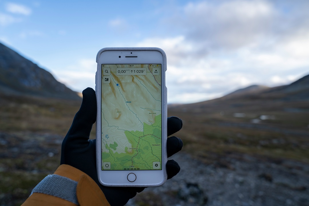
Geospatial Mapping
Interactive maps display potential zones, mineral trends, and GPI distributions for exploration planning.
Gold Potential Index (GPI)
Automatically calculate GPI from multiple mineral ratios to highlight zones with high gold potential.
Multi-Region Coverage
Supports exploration across Tanzania and East Africa with regional comparisons and trend analytics.
Mineral Trend Analytics
Visualize and analyze trends of multiple minerals to optimize exploration strategy and sampling.
Comprehensive Reports
Generate exploration reports in PDF/CSV with maps, indices, and GPI summaries for decision-making.