GoldRadar Faults
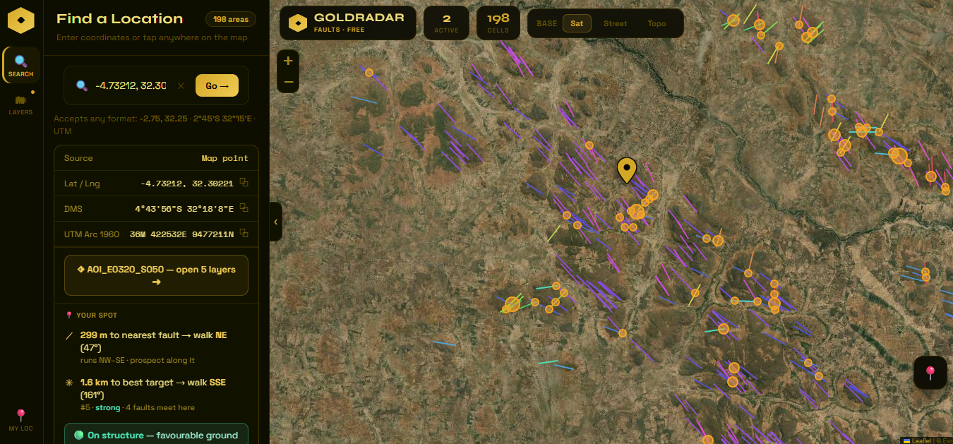
A structural lineament explorer derived entirely from satellite elevation data. GoldRadar Faults maps fault lineaments across the QDS grid and automatically flags fault intersection targets — the points where two or more structures cross, which are statistically the most prospective locations for hydrothermal gold mineralisation.
No fieldwork required to get started. Load an area, see the structural framework, and identify your preliminary targets before spending a dollar on the ground.
- Fault lineaments extracted from satellite DEM data
- Automatic fault intersection target detection
- QDS grid coverage — scalable across Africa
- Coordinate search in Lat/Lng, DMS & UTM
- Topo, satellite and base map layers
- Installable PWA — works on phone & desktop
- Completely free — no login required